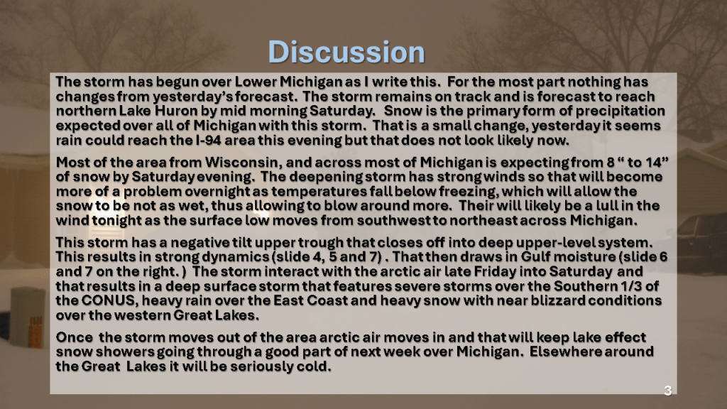


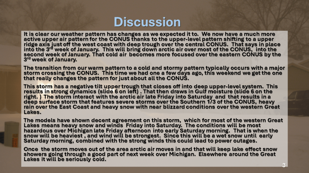


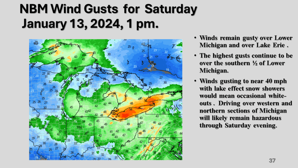
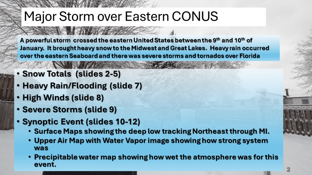
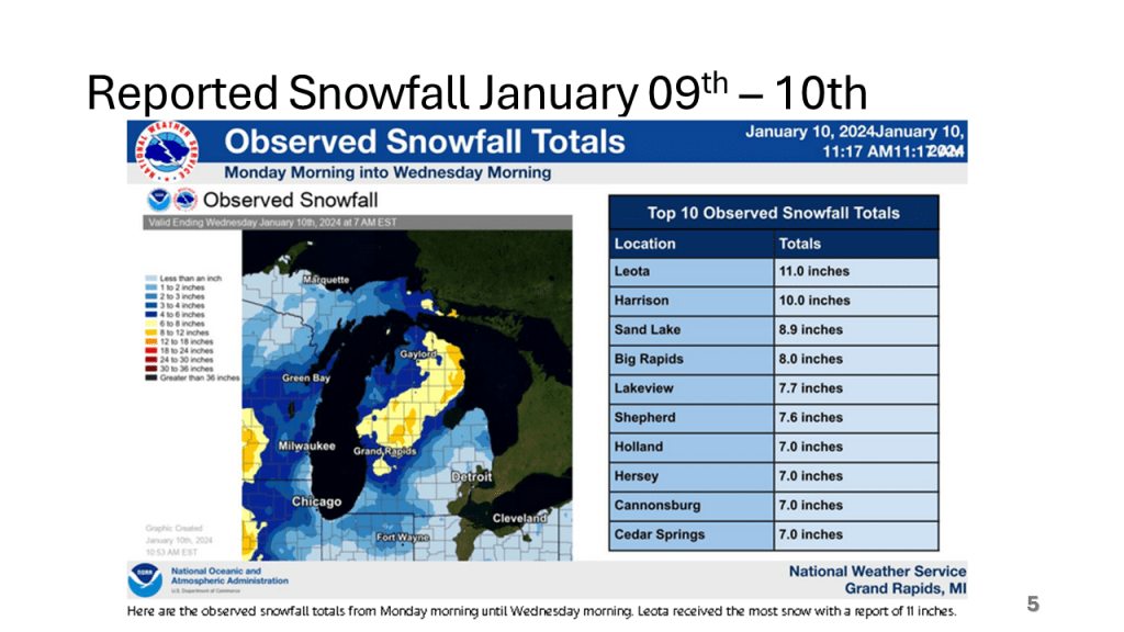
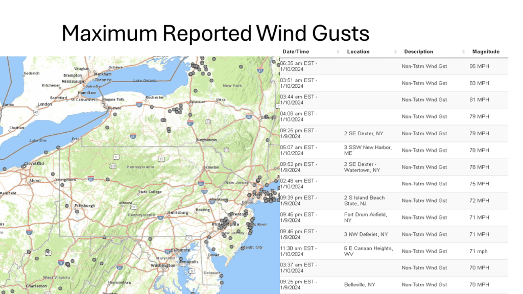
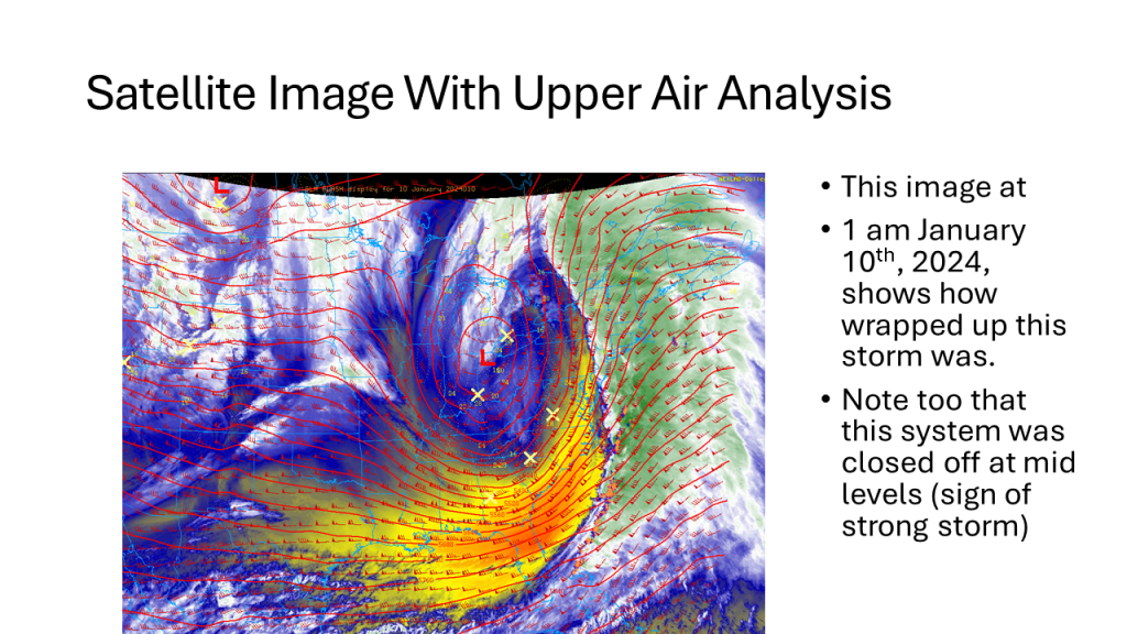
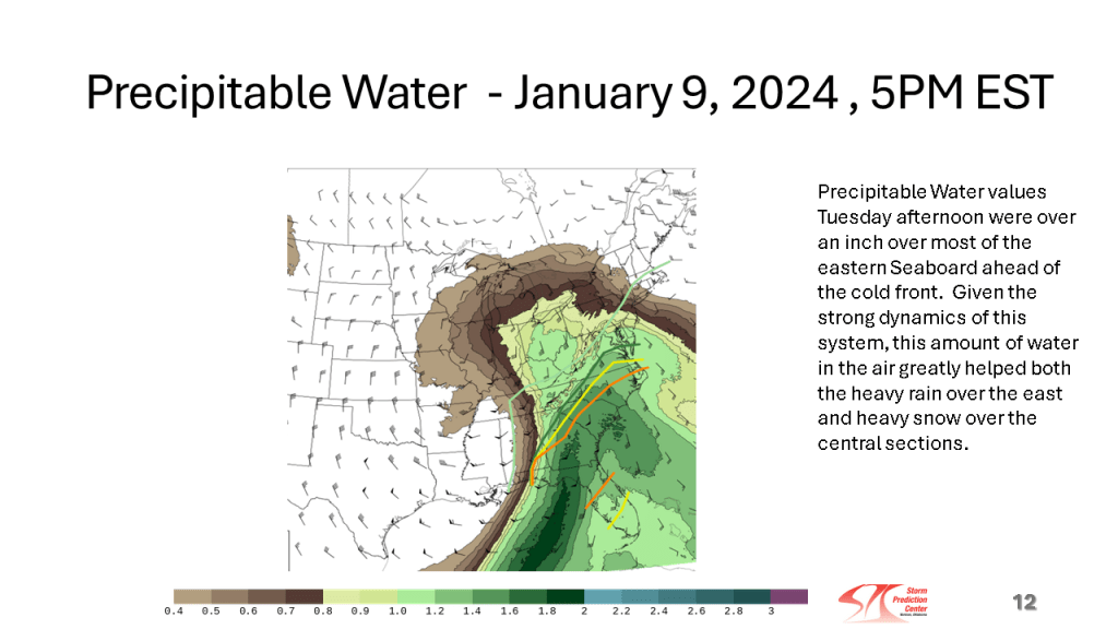
This storm brought heavy snow to the Midwest and parts of the Great Lakes, then there were damaging winds over the eastern Seaboard, as well as flooding. Severe storms and over a dozen tornadoes occurred over the Southeast sections.


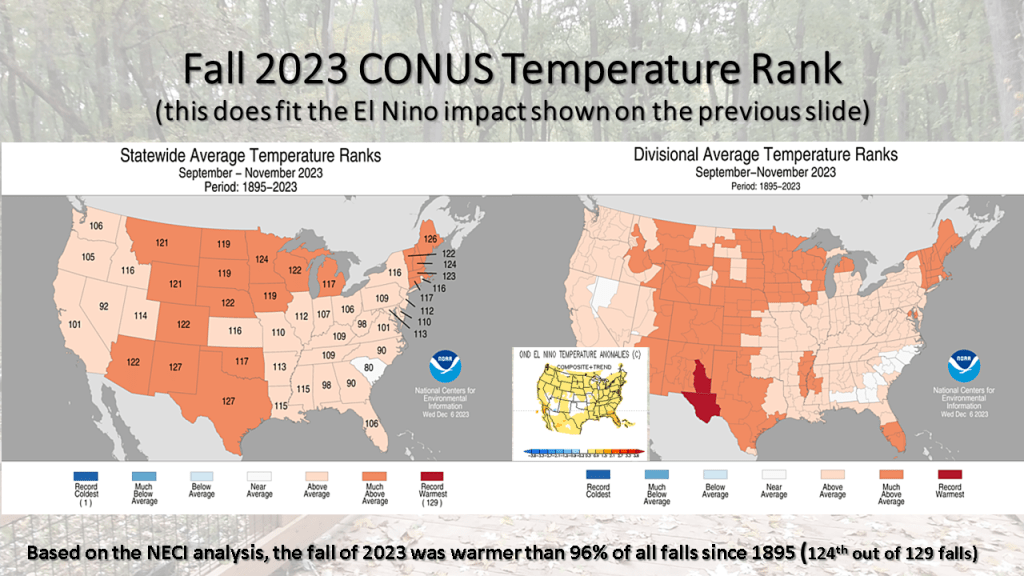
In our string of nationally much warmer than normal seasons, the fall of 2023 was 124th out of 129 falls for warmer than normal. This puts this fall warmer than 96% of all falls since 1895! No area of the CONUS had a below normal temperatures (bottom 1/3 coldest) this fall.


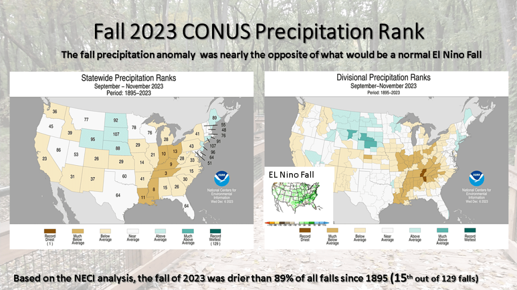


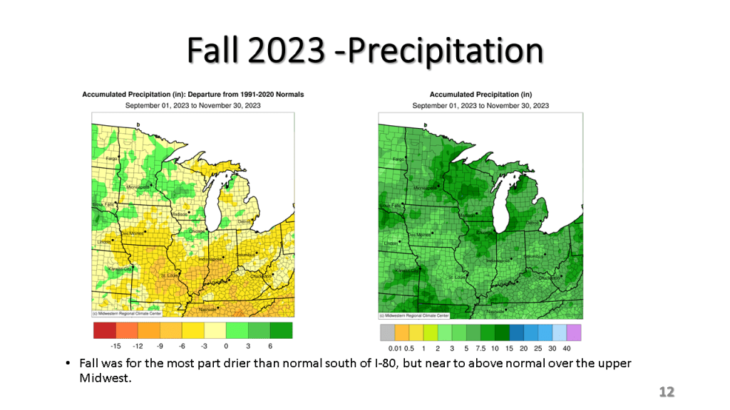

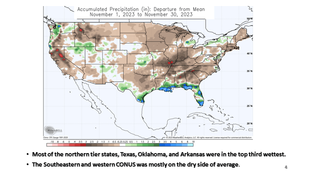
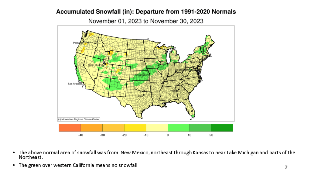
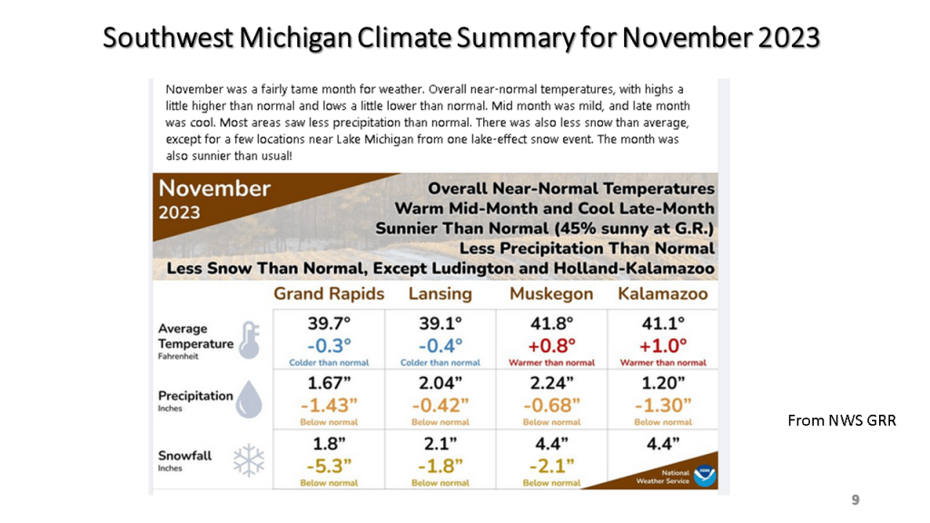
For the most part, November was not was warm, relative to normal as October was, in fact the eastern half of the CONUS was cooler than normal in November, as were parts of the Pacific Northwest. It was an extremely dry month over most of the CONUS, ranking 111th dries out of 128 years (91%). Only the Gulf Coast and Florida were wetter than normal. Snowfall was mostly below normal but a snow storm brought heavy snow from Kansas to near Chicago around the 25th resulted in up to a foot of snow in that area, bringing them above normal snowfall for November.


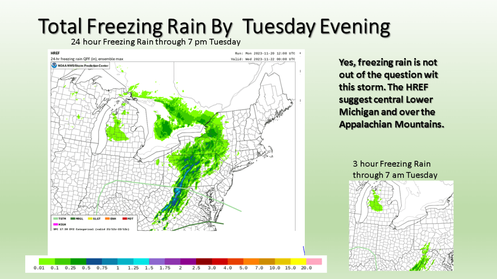
This blog is really more about showing those who do not know about the SPC HREF model. I have some of the key charts from today’s HREF that show where the severe storms are expected, the strongest winds, and heaviest rainfall.
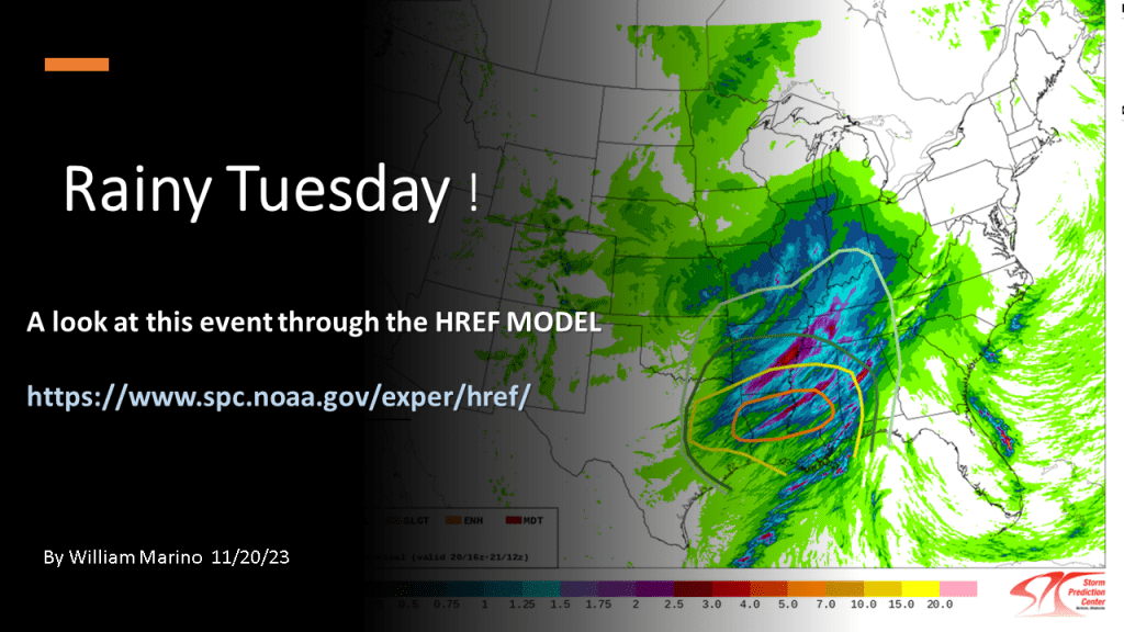
Here is a link to the SPC HREF model.


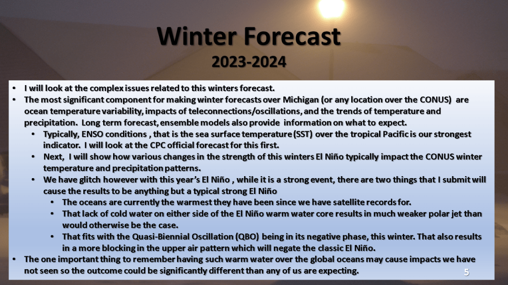
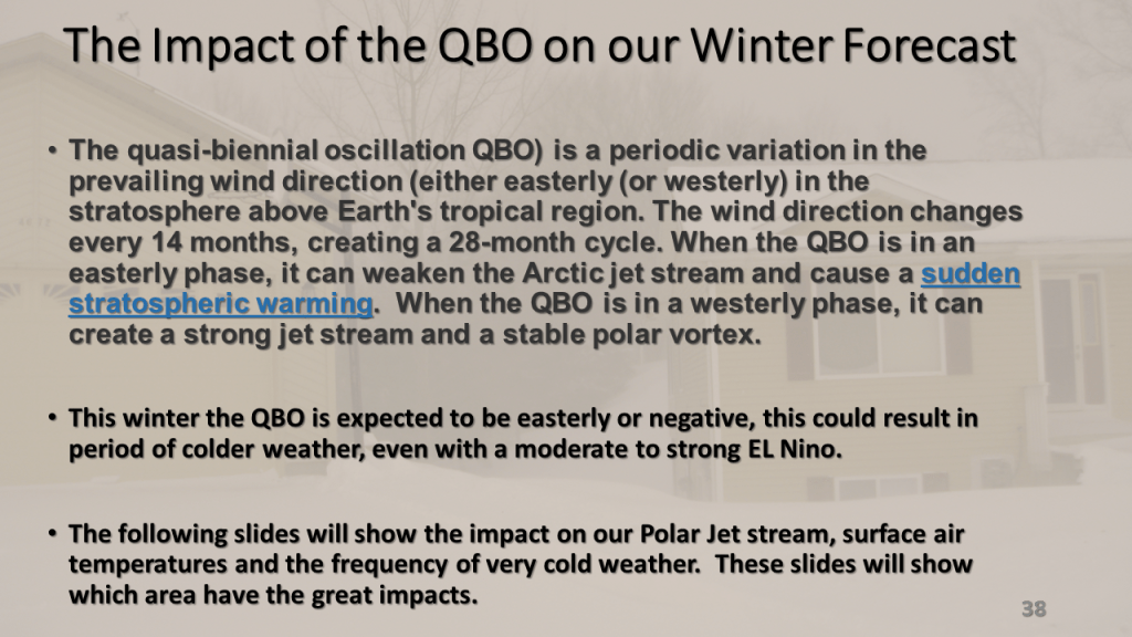
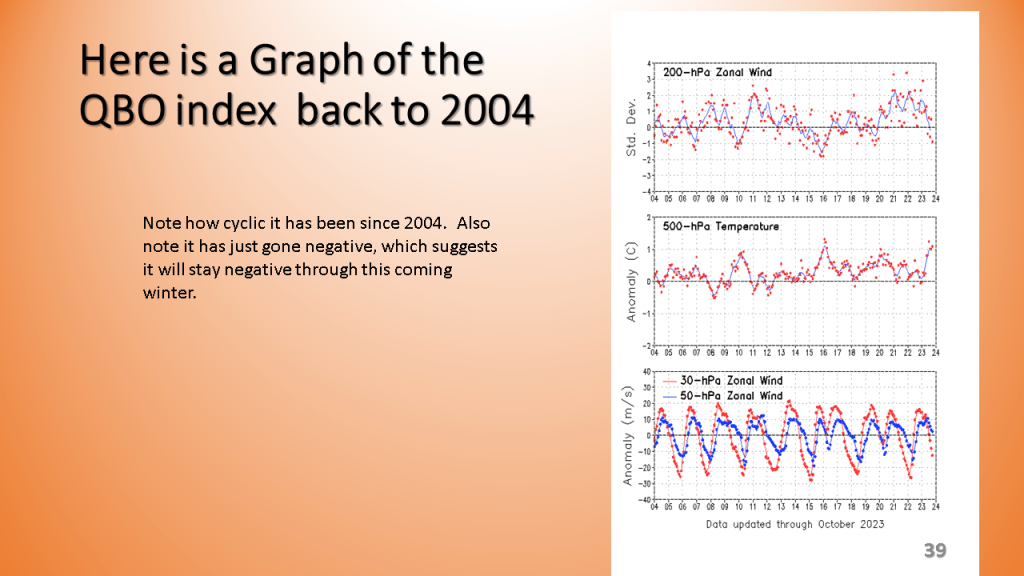
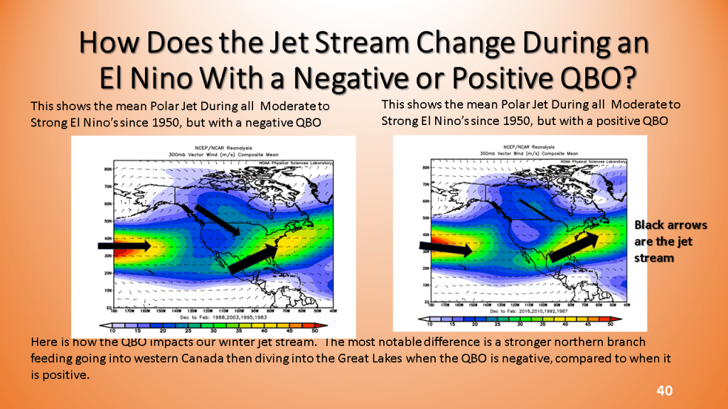
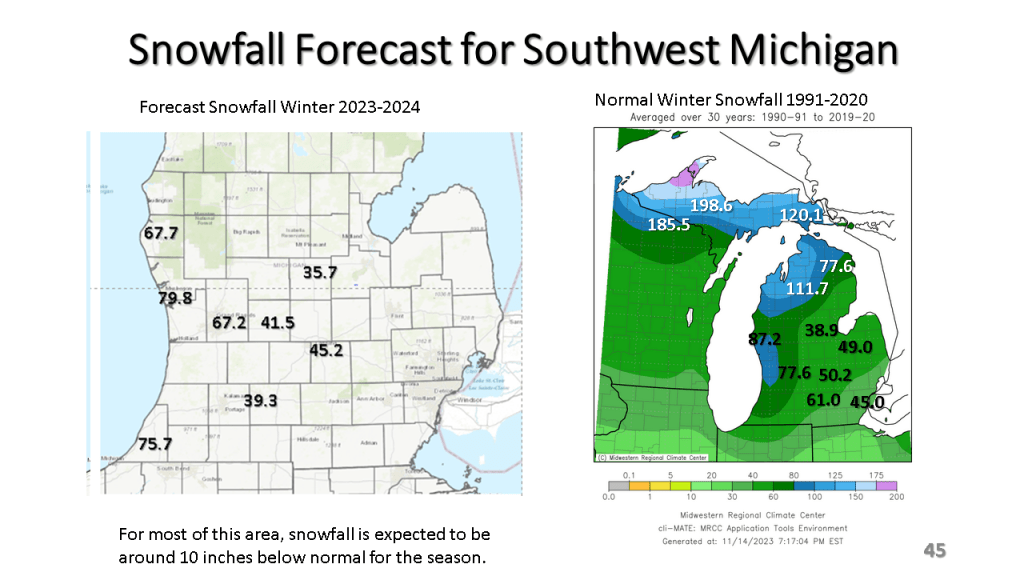
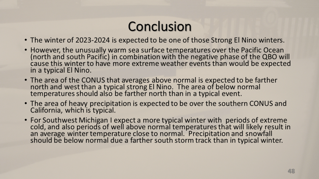
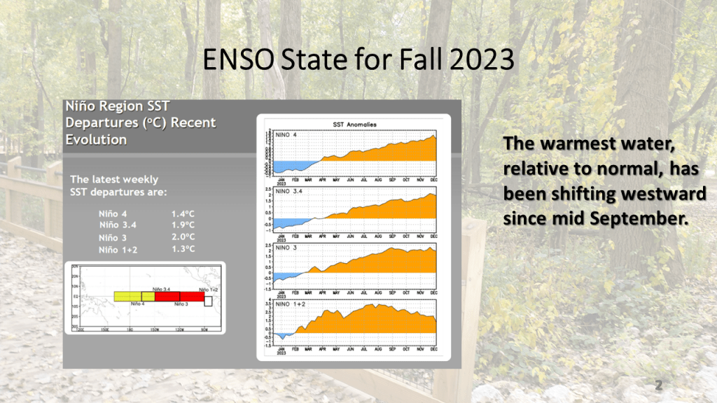
The short story is I am expecting a not so typical moderate to strong El Nino Winter this year. This is due to record warm sea surface temperatures in combination with an easterly wind over the tropical oceans, near 200 mb. This these two features acting together create an unusual amount of blocking in our Northern Hemisphere jet stream. This will mean periods of extremely cold weather and periods of unusually warm weather for a good part of the central and eastern United States lower 48 states. Even so, for Southwest Michigan and actually for all of Michigan I expect snowfall to be below normal but we will get a decent amount of snow nonetheless.